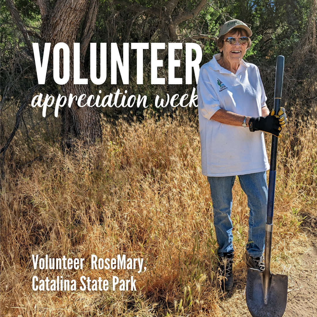
Celebrating Arizona State Parks Volunteers: RoseMary's Story
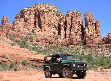
Red Rock State Park
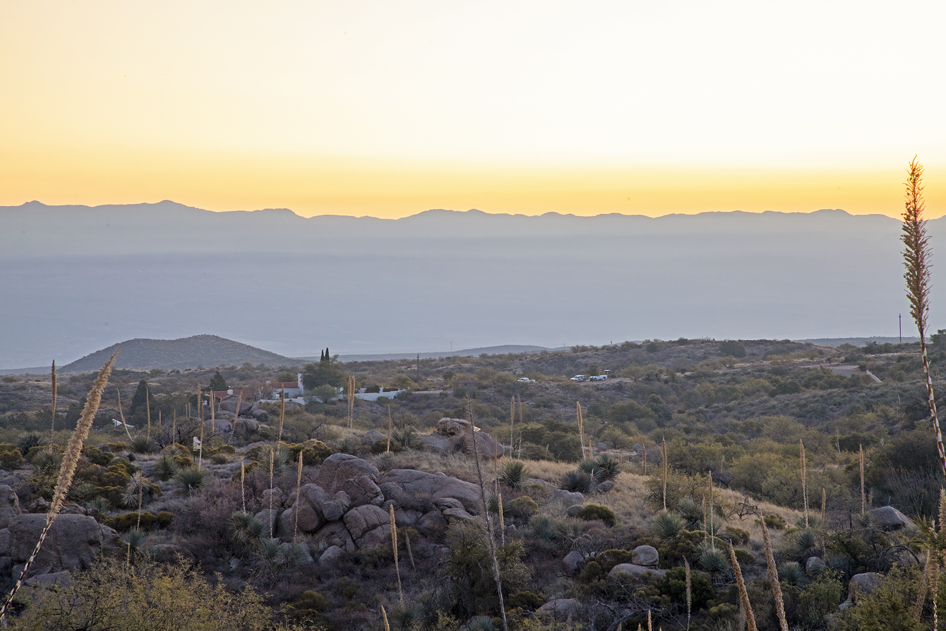
Catalina State Park
Tonto Natural Bridge State Park
Catalina State Park
Red Rock State Park
Dead Horse Ranch State Park
Kartchner Caverns State Park
Oracle State Park
Kartchner Caverns State Park
Tubac Presidio State Historic Park
Homolovi State Park
Tombstone Courthouse State Historic Park
Red Rock State Park
Tonto Natural Bridge State Park
Catalina State Park
Catalina State Park
Kartchner Caverns State Park
Dead Horse Ranch State Park
Red Rock State Park
Lost Dutchman State Park
Picacho Peak State Park
Cattail Cove State Park
Red Rock State Park
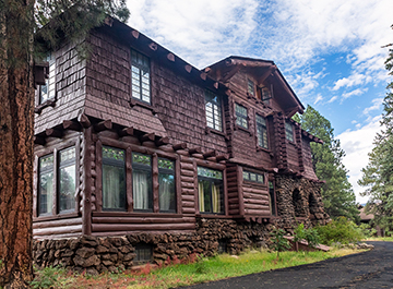
Riordan Mansion State Historic Park
Riordan Mansion State Historic Park
Riordan Mansion State Historic Park
Dead Horse Ranch State Park
Oracle State Park
Fort Verde State Historic Park
Patagonia Lake State Park
Red Rock State Park
Red Rock State Park
Lyman Lake State Park
Lyman Lake State Park
Fool Hollow Lake Recreation Area
Catalina State Park
Riordan Mansion State Historic Park
Lyman Lake State Park
Oracle State Park
Riordan Mansion State Historic Park
Fort Verde State Historic Park
Lyman Lake State Park
Lyman Lake State Park
Fort Verde State Historic Park
Fort Verde State Historic Park
Lyman Lake State Park
Fort Verde State Historic Park
Fort Verde State Historic Park
Lyman Lake State Park
Fort Verde State Historic Park
Lyman Lake State Park
Alamo Lake State Park
Fort Verde State Historic Park
Fort Verde State Historic Park
Fort Verde State Historic Park
Fort Verde State Historic Park
Fort Verde State Historic Park