
The park WiFi will be unavailable until further notice.
Parking is only allowed in designated parking spots. Please observe all rules distributed by rangers when entering the park. Use caution as flooding is possible.
Maps
Catalina Maps, Location and Directions
What3Words: ///blustery.suggest.condiment

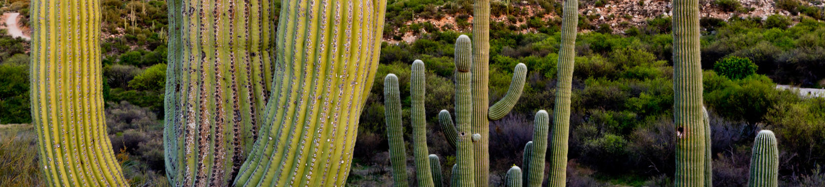
Catalina Park Maps
Park Maps show you an overview of the park's camping areas plus information about park trails and other facilities within this gorgeous Tucson area state park.
Share the Trail
Understanding shared-use trail etiquette can make hiking, biking, and riding trails more enjoyable for everyone. Learn some basic principles and tips for using shared-use trails. Learn more.
Elevation
2650 ft
GPS Coordinates to park entrance
Decimal Degrees (WGS84)
Latitude: 32.416777
Longitude: -110.937581
Degrees, Minutes & Seconds
Latitude: N32 25 00
Longitude: W110 56 15
GPS
Latitude: N 32 25.007
Longitude: W 110 56.255
UTM 12N
X: 505869
Y: 3586636
