
Maps
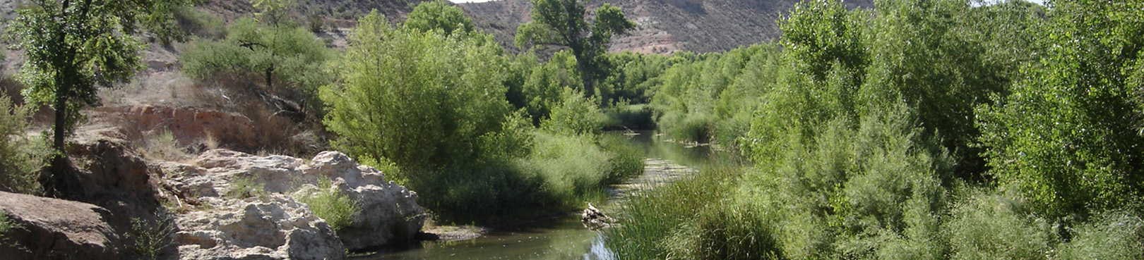
Natural Area Location and Directions
What3Words: ///poses.natives.racer
Verde River Greenway Paddle Map
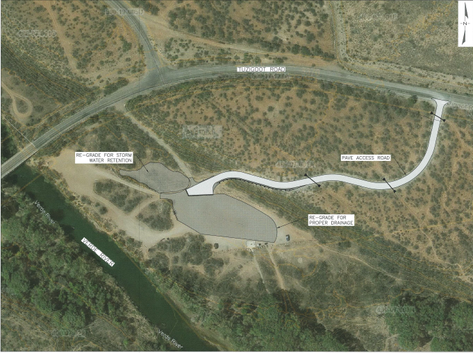
Note: Beginning November 1, 2023 the road connecting the Tuzigoot River Access Point (Tuzi RAP) parking lot to Tuzigoot Road will undergo paving and the parking lot itself will be regraded. This project has been timed to make as little impact to Tuzi RAP users as possible and will last approximately one month. The project will improve access for Verde River paddlers, reducing flooding and muddy conditions following precipitation in the area. A map of the affected area can be viewed below.
Paddle Map 1: Tuzigoot Bridge to the Highway 89A Bridgeport Bridge
Download Paddle Map 1
Paddle Map 2: Beasley Flat to Sheep Bridge
Download Paddle Map 2
Paddle Map 3: Highway 89A Bridge to Beasley Flat
Download Paddle Map 3
GPS Coordinates to park entrance
Decimal Degrees (WGS84)
Latitude: 34.753082
Longitude: -112.022116
Degrees, Minutes & Seconds
Latitude: N34 45 11
Longitude: W112 01 19
GPS
Latitude: N 34 45.185
Longitude: W 112 01.327
UTM 12N
X: 406449
Y: 3846137
