
Maps
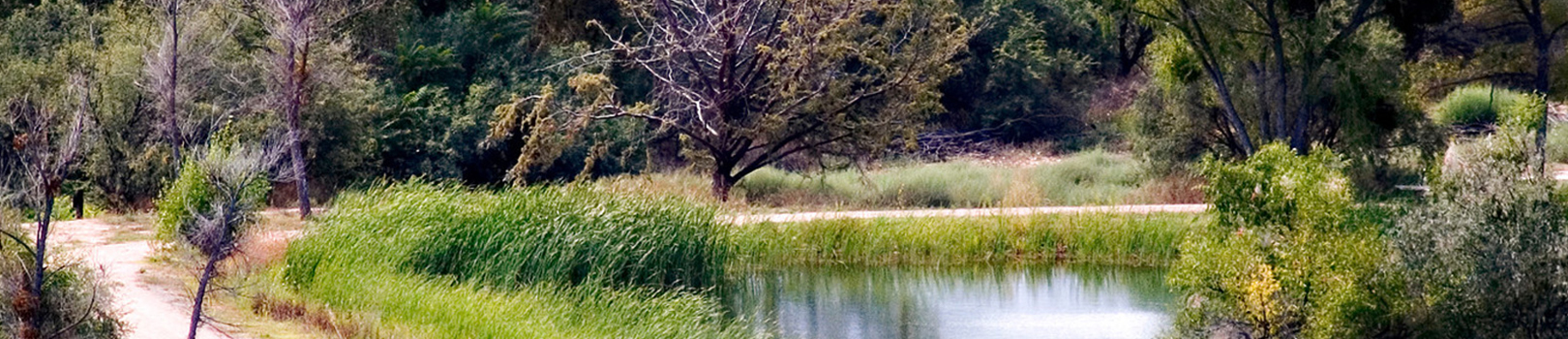
Natural Area Location and Directions
What3Words: ///poses.natives.racer
Verde River Greenway Paddle Map
Paddle Map 1: Tuzigoot Bridge to the Highway 89A Bridgeport Bridge
Download Paddle Map 1
Paddle Map 2: Beasley Flat to Sheep Bridge
Download Paddle Map 2
Paddle Map 3: Highway 89A Bridge to Beasley Flat
Download Paddle Map 3
GPS Coordinates to park entrance
Decimal Degrees (WGS84)
Latitude: 34.753082
Longitude: -112.022116
Degrees, Minutes & Seconds
Latitude: N34 45 11
Longitude: W112 01 19
GPS
Latitude: N 34 45.185
Longitude: W 112 01.327
UTM 12N
X: 406449
Y: 3846137
